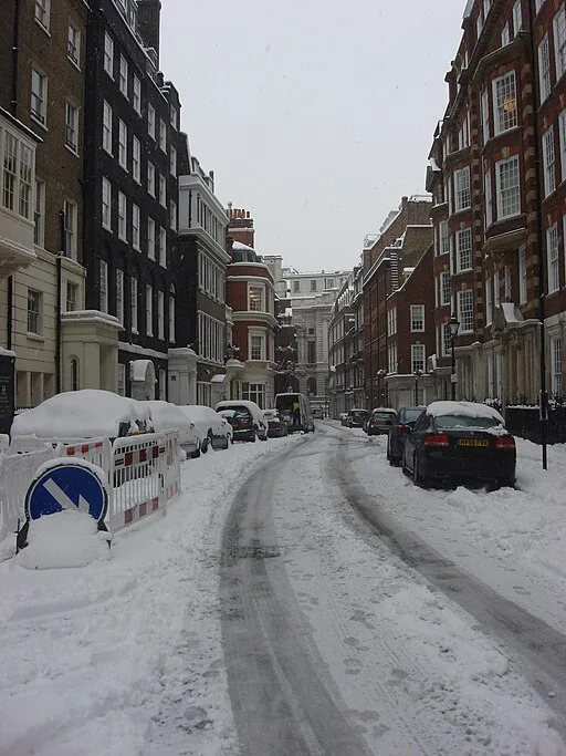
Weather forecasters warn of significant snowfall along a stretch of the UK
After the recent battering from Storm Isha and Storm Jocelyn, the United Kingdom is bracing for another Arctic onslaught, marked by a substantial ‘wall of snow.’ Meteorological service InMeteo’s latest weather maps indicate that over five inches of snow could blanket a 200-mile stretch of the UK on Tuesday, February 6. The upcoming cold snap is expected to bring temperatures as low as -8C in some regions as bitter northerly winds make a return.
The forecast suggests that the most significant snowfall on February 6 will occur across northern England and the Midlands, particularly affecting higher ground in Cheshire, Derbyshire, and South Yorkshire. Meteorologists predict up to 13cm (5.1 inches) of snow in these areas.
Embed from Getty ImagesA visual representation reveals a substantial snow cover extending from Merseyside in the west to the Norfolk coast in the east, covering a 200-mile span. The snowfall is expected to commence around 6 am and persist until 5 pm, reaching south over the Midlands and, to a lesser extent, the Southeast of England, where flurries are anticipated during rush hour.
The Met Office cautions that long-range forecasts are subject to change, emphasizing that meteorologists can provide more accurate predictions closer to the event. The extended forecast for January 29 to February 7 anticipates a variable weather pattern with rain, occasional dry spells, and milder temperatures overall. Northwestern areas may experience heavier rain and strong winds, while the south and east could see settled periods with drier and brighter weather.
As the UK prepares for another wintry episode, residents are urged to stay updated on weather advisories, given the unpredictable nature of long-range forecasts.
